Houlton International Airport
IATA: HUL, ICAO: KHUL, FAA LID: HUL
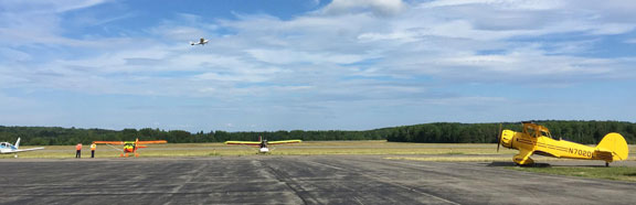
The Houlton International Airport was originally known as the Houlton Army Air Base. This general aviation airport is publicly owned by the town of Houlton.
Runway
- Runway 5/23: 5,001 x 150 ft (1,524 x 46 m), Surface: Asphalt
- Runway 1/19: 2,600 x 100 ft (793 x 30.5 m), Surface: Asphalt
Location Information
- Coordinates: N46°7.48' / W67°47.54'
- Located 02 miles E of Houlton, Maine on 1615 acres of land.
- Surveyed Elevation is 489 feet MSL.
- Magnetic Variation from 2010 is 18° West
Services Available
| Fuel: | 100LL (blue), Jet-A FOR FUEL AFTER HRS CALL 207-532-9079 OR 207-538-7997 (CELL). |
|---|---|
| Transient Storage: | Hangars,Tiedowns |
| Airframe Repair: | MAJOR |
| Engine Repair: | MAJOR |
| Bottled Oxygen: | NONE |
| Bulk Oxygen: | NONE |
Runway Details
| Dimensions: | 5015 x 100 feet / 1529 x 30 meters | |
|---|---|---|
| Surface: | Asphalt in Good Condition | |
| Weight Limits: | S-30, D-57 | |
| Edge Lighting: | Medium Intensity | |
| Runway 05 | Runway 23 | |
| Coordinates: | N46°7.03' / W67°47.83' | N46°7.74' / W67°47.22' |
| Elevation: | 483.0 | 489.2 |
| Gradient: | 0.4 | 0.4 |
| Traffic Pattern: | Left | Left |
| Runway Heading: | 049° Magnetic, 031° True | 229° Magnetic, 211° True |
| Markings: | Non-Precision Instrument in poor condition. | Non-Precision Instrument in poor condition. |
| Glide Slope Indicator | P4L (3.00° Glide Path Angle) | P2L (3.00° Glide Path Angle) |
| REIL: | Yes | Yes |
| Obstacles: | 30 ft Tree 1235 ft from runway, 100 ft right of center | 31 ft Tree 230 ft from runway, 250 ft left of center RY 23 HAS +3-10 FT BRUSH & TREES 60 FT. TO 200 FT. FROM THRESHOLD, 70 FT. TO 250 FT. RIGHT OF CENTERLINE; +3 FT. TO 20 FT. TREES & BRUSH 90 FT. TO 200 FT. FROM THRESHOLD, 90 FT. TO 225 FT. LEFT OF CENTERLINE. |